

Emigration and Colonization
![[ Viking Expansion ]](../../images/site/164866_2.jpg "[ Viking Expansion ]")
Viking Expansion, Vis-à-Vis Graphics,
There are many reasons why people gather their belongings, leave their homes, and set out for far-away areas, often in the knowledge that they will never return.
Eastern Europe and France
The emigration and colonization that took place in the Viking Age was not to be rivalled until the 16th century. For the East Norse (the Danes and Swedes) colonization was a natural sequel to trading voyages and the establishment of trading posts on foreign soil. In Eastern Europe the number of traders and settlers was small. After a couple of generations the Norse blended into the host population and had little impact on further development of the host country. In Normandy, France, the Danes and Norwegians were given land on condition they defend it and the French against other Viking attackers.
England, Isle of Man, Scotland, Hebrides, Orkneys, Shetland Islands, Ireland
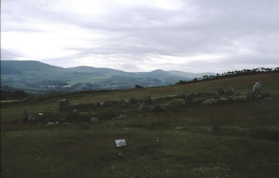
The westward expansion was more extensive and had a greater impact on the host areas. There were two phases of colonization. The first one touched England and Scotland and, to some extent, Ireland. The Norse, mostly Danes and Norwegians became the dominating culture in a number of areas. The Danes controlled a large area of northern and eastern England which was known as the Danelaw, the Law of the Danes. In Scotland the Norse almost eradicated the cultures of the previous Picts, Britons, Angles, and Scots. They introduced Norse architecture, language, and customs and changed the genetic make-up of the people. By 840 the Norse had established permanent bases in Ireland from which they raided in all directions. One such base grew into the town of Dublin. They did not settle outside their bases, and as their influence declined over the tenth century, the Norse becoming increasingly assimilated into the Irish population.
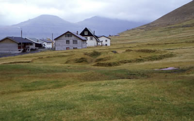
The Faeroes Islands
Although the Faeroes and Iceland had been sighted by ship crews during the time of the Roman Empire, the Norse may not have been aware of their existence until they heard tales of these lands when they settled in the British Isles. No one, except a few Christian hermits, had actually lived there before. Around 825 the Norse in Scotland began moving to the Faeroes where their descendents still live. Some also came directly from Norway.
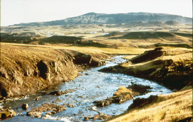
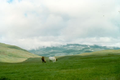
Iceland
A Norwegian, Floki Vilgerdarson is said to have been the first to recognize the potential of Iceland as a place suitable for settlement. The first stream of settlers arrived shortly before 870, followed by several hundred people shortly thereafter. The new Icelanders recorded their land claims in a remarkable document called Landnámabók, Book of Settlement [literally Book of Land Taking]. The Book of Settlement enumerates 430 settlers and the places where they established their holdings. This does not mean that there were only 430 settlers. The number stands for the number of important men, the elite of the country. They were the heads of not just their own family but of small tenant and freehold farmers, as well as paid and enslaved workers. We probably need to multiply 430 by about 20 to get an idea of the size of the immigration. This means that the initial settlement would have comprised about 8000 people.
Small freehold and tenant farmers often did not have a choice whether they wanted to follow their lord to a new existence, unless they could attach themselves to another estate. They could not go on their own as only the rich owned the ships. Nor could they stay, even if they wished, because their labour and productivity were a prerequisite for the lord to carve out a new estate in virgin territory. Servants and slaves had even less choice in the matter.
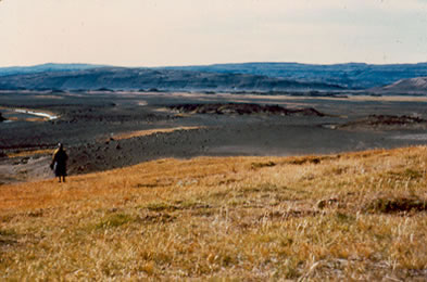
All arable land was settled from the start. The pattern followed was that the chieftains claimed huge areas for themselves. These were also the best areas for pastures, crops, and resources in the form of forests, lakes for fishing, beaches for driftwood and stranded whales, and areas with bog ore where iron could be produced. The chieftain then distributed pieces of his land to his tenants and small freeholders supporters. The freeholders got the least productive areas. Larger and better tracts of land were handed over to prominent friends whose support was needed, or to later arrivals, and they in turn handed out the less desirable pieces to their tenants and farmers. This was a way the already rich and influential assured that their prosperity and authority would be preserved for the future.
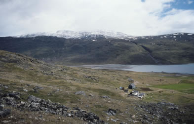
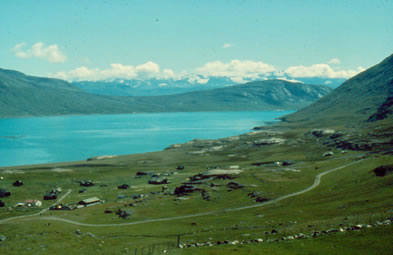
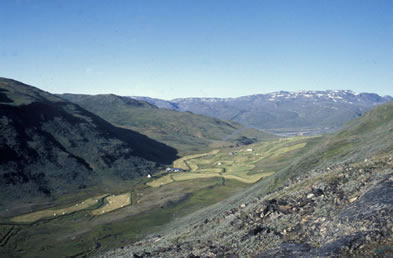
Greenland
After a hundred years in Iceland, the population had increased, possibly to as much as 16,000 people. By this time it was known that there was yet more land to the west of Iceland. For about three years Erik the Red and some of his farm hands explored this territory. About 985, he set himself up as the leader of immigration to this land. Twenty-five households decided to go with him. Only fourteen reached their destination. It is not known if the rest gave up and returned to Iceland or tried again another year. The latter scenario is the most likely one. If there had been only fourteen, the founding population of Greenland would have been only about 280 people, allowing for 20 people per household. Experience has shown that this is too little to start a colony from scratch in an uninhabited wilderness. Twenty-five boatloads could have comprised about 500 people which is just about the minimum for a successful start.
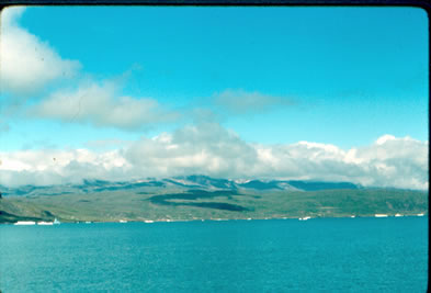
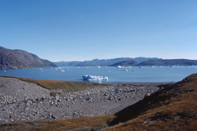
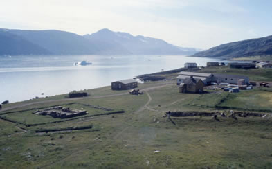
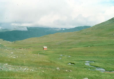
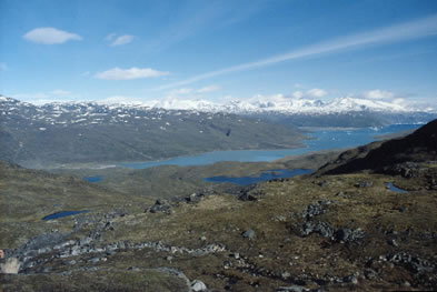
The Greenland settlement grew to 2000 or 3000 people over the next two or three centuries. Only a small part of the large land mass that is Greenland suited the Norse lifestyle where extensive pastures for livestock formed the backbone of the economy. The only such areas are on the west coast, in two major locations separated from each other by 550 km. One is just north of the southern tip of Greenland, and this became known as the East Settlement. The other one, far to the north, became known as the West Settlement A third location also north of the East Settlement but close to it was called the Middle Settlement.
The areas where the Norse settled are characterized by a network of fjords cutting deeply into the land. The settlements were on the inner, sheltered shores of these fjords, never on the outer coasts.
When the Norse arrived in Greenland, the land was uninhabited. The Norse found signs that people had lived there before: remains of skin canoes and stone tools. From archaeology we know that Greenland was initially inhabited by Palaeoeskimo cultures called “Independence I and II”, later by the Sarqaq [in Canada they are referred to as Dorset Palaeoeskimo], who lived there from c. 2000 BC. By the time the Norse arrived, they had withdrawn to northern Greenland and what is now the Canadian High Arctic.
In the late 1200s the Thule people, the ancestors of today’s Inuit, arrived from the east into northern Greenland. From there they spread southward, into the Norse areas. We do not know much of how the relationships between the Norse and the Thule developed. Archaeologists have detected no direct signs of either conflict or peaceful interaction. Wooden figurines carved by the Thule show that they were certainly aware of the Norse.
In the late 13th and early 14th centuries there were spells of cooler and more inclement weather. Some years the yields of the pastures failed, causing famines. Simultaneously, changing wind patterns and accumulations of sea ice along the coasts made the passage to and from Europe more difficult. By around 1350 the West Settlement had declined, and one farm after the other was abandoned. By 1400, the settlement no longer existed. The East Settlement continued to exist for at least another fifty years, but by 1500 it was also gone. What really happened is the topic of much scholarly debate. Were the Norse decimated by fights with the Thule? Were they hit by an epidemic? Did they starve to death? Did they pack up and leave? If so, where did they go?
![Erik's Fjord [Tunulliarfik] Facing West](../../images/site/165688_2.jpg)
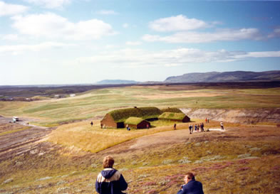
![Statue of Leif Eriksson erected at Brattahlid [Quassiarsuk] in 2000](../../images/site/164276_2.jpg)
Maps
Eastern Europe and France
British Isles
Chapters in Books
Faeroes
Iceland
Chapters in Books
- Adam of Bremen, [Iceland in] Chapter 36, Beskrivelse af øerne i Nordern [Description of the Islands in the North], 1978
- Bernard Scudder, trans., [Colonization in] Egil's Saga, The Sagas of Icelanders: A Selection, preface by Jane Smiley, introduction by Robert Kellogg, 2000
Internet Source
Maps
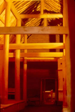
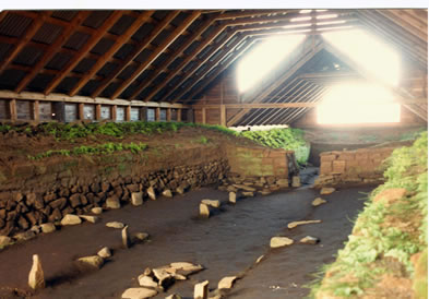
- Þór Magnússon, Plan of Viking Age hall at Hvítarholt, southern Iceland, “Sögualdarbyggð í Hvítárholti”. Árbók hins íslenzka fornleifafélags, 1973
- After Gwyn Jones, Map of Iceland, The Norse Atlantic Saga. Being the Norse Voyages of Discovery and Settlement to Iceland, Greenland, and North America, 1986
Greenland
Chapters in Books
- Adam of Bremen, [Greenland in] Chapter 37, Beskrivelse af øerne i Nordern [Description of the Islands in the North], 1978
- Jette Arneborg, Greenland, the starting-point for the voyages to North America, Viking Voyages to North America, 1993
Journal Articles
Maps
- Ole Guldager, Map of the Eastern Settlement, Greenland, 1999
- Ole Guldager, Map of Central Part of the Eastern Settlement, Greenland, 1999
- Ole Guldager, Map of the Norse settlements in Greenland, 1999
- Ole Guldager, Map of Norse Ruins at Qinngua that may be Brattahild, Medieval Farmsteads in Greenland: The Bratthild Region 1999-2000, 2002
- Ole Guldager, Map of Norse ruins at Quassiarsuk, presumed to be Brattahlid , Medieval Farmsteads in Greenland: The Brattahild region 1999-2000, 2002