Menu
Home
Contexts
Franklin's last voyage
Searching and researching
Ripples and ice jams
Interpretations
Archives
News
Introduction
Letters
Newspaper Articles
Journal Articles
Government Documents
Diaries, Journals
Books
Miscellaneous
Photos, Paintings, Drawings
Images of Artefacts
Maps
Videos
Special Collections:
Inuit Testimony
Parks Canada Collection
Expedition 2010: Mercy Bay
Expedition 2011: HMS
Investigator
Expedition 2012: Sonar Searching
Expedition 2013: More Sonar Searching
Discovery of HMS
Erebus
: 2014-15
Discovery of HMS
Terror
: 2015-16
Français
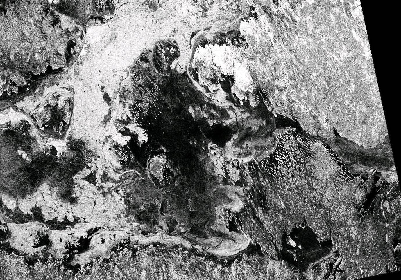
RADARSAT-1 Image Showing Ice Conditions in Eastern Queen Maud Gulf (20 November 1997)
Created by:
Canadian Space Agency
Archive:
Canadian Space Agency
Collection:
RADARSAT
Date:
20 November 1997
Notes:
This satellite photo shows O'Reilly Island as the western extremity of a peninsula of landfast ice.
About this type of source
Home
Contexts
Franklin's last voyage
Searching and researching
Ripples and ice jams
Interpretations
Archives
Becoming an Historian